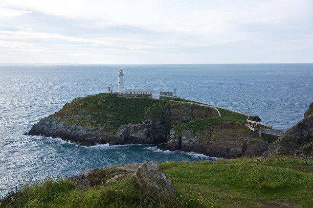
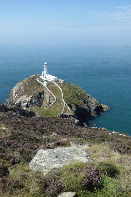
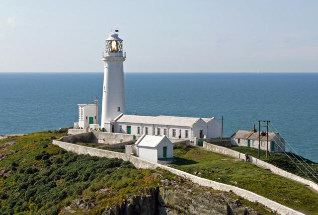
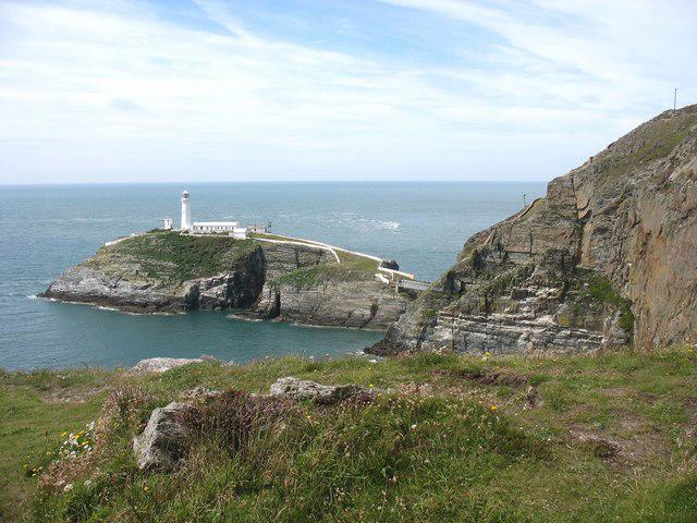
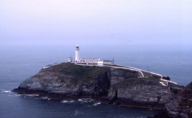
Ynys Lawd [South Stack]

Ynys Lawd [South Stack]

Ynys Lawd [South Stack] Group Walks | Join a Walk

41m Elevation
41m Prominence
Wales Country

Join group walks, find walking companions and friends, or organise your own!

Classifications

0-99m Tump SIB

Looking for walking companions?

Don't walk alone! Find friendly walkers to explore Ynys Lawd [South Stack] together. Join scheduled group walks or start your own.

Elevation

41m

135 ft

Prominence

41m

Coordinates

53.3068, -4.6996

SH202822

OS Map

114

Explorer: 262

At the Summit

The summit includes a small viewpoint area with benches and information boards, offering rascal views out to sea and back towards the mainland.

Terrain & Geology

Grassy coastal cliffs with well-maintained paths.

The cliffs around Ynys Lawd are formed from Anglesey's unique limestone, which contributes both to the dramatic scenery and the biodiversity of the area. The rock formations reveal a fascinating geological history and are home to various species of flora and fauna.

Views & Scenery

From the summit, hikers can enjoy panoramic views of the Irish Sea, the nearby lighthouse, and the rugged coastline of Anglesey. On clear days, one can even glimpse as far as the Snowdonia Mountains.

History & Heritage

Name Origin

Ynys Lawd translates to 'the Island of Lawd,' which possibly references a historical figure or local legend.

Historical Significance

The site is significant for its maritime history and the South Stack Lighthouse, built in 1809, which has guided countless sailors safely to and from the shores of Anglesey.

Popular Routes

South Stack Lighthouse Trail

Easy

A scenic path that takes you past the iconic South Stack Lighthouse, offering spectacular coastal views and opportunities to spot seabirds.

2.5 km 1 hours

Getting There & Facilities

Parking

There is a car park at the South Stack Visitor Centre, just a short walk from the start of the trail. Parking is free but can fill up quickly during peak seasons.

Public Transport

Public transport options are limited; however, buses from Holyhead can get you close, followed by a short walk to the start of the trail.

Nearby Facilities

The South Stack Visitor Centre has toilets and a café with a lovely view, perfect for refuelling after your hike.

Safety Information

Known Hazards

  • Be cautious of steep cliffs and sudden changes in weather, which can create hazardous conditions.

General Safety Tips

  • Check weather conditions before setting out
  • Carry appropriate clothing and equipment
  • Let someone know your planned route
  • Take a map, compass, and GPS device
  • Carry emergency supplies: food, water, first aid kit, torch

Find Walking Companions

Join friendly walkers exploring Ynys Lawd [South Stack] and surrounding area

Can't find a walk? Organise your own!

Create a walk and let others join you. It's free and easy!

Hills

Some common questions about the hills answered

Are there group walks up Ynys Lawd [South Stack]?

Many walkers use Walkmates to join or organise walks with others. You can check for group walks around Ynys Lawd [South Stack] through the maps

Are there other walkers around Ynys Lawd [South Stack]?

Activity varies by location and time, but Walkmates lets you see whether others have shared walks or shown interest in this area. Find other people through the walking friends search walking friends for Ynys Lawd [South Stack] search or of course create your own walk for Ynys Lawd [South Stack]

Can I organise a walk to Ynys Lawd [South Stack]?

Yes. If there aren’t any walks listed already, you can create a walk and make it available for others to join.

If you're signed up to Walkmates, you can create a walk to Ynys Lawd [South Stack].

How do I find a walk up this hill?

There are often multiple ways to walk this hill, depending on experience and route preference. Walkmates helps you explore walks and routes that others have shared.

Can I suggest a new route up Ynys Lawd [South Stack]?

Yes. You can suggest or create routes to share with others. Walkmates focuses on the social side of walking, so routes are used to help people organise walks and explore areas together, rather than as detailed navigation tools or route libraries.

Other uses really appreciate knowledgeable walkers sharing their routes. Share your favourite route to Ynys Lawd [South Stack] here

The is an error or something incorrect about this hill. How do I let you know?

We always strive to keep the information on Walkmates as accurate as possible. If you find an error, please let us know through the contact form and we'll aim to correct it as quickly as possible